stdClass Object
(
[type] => Land
[status] => stdClass Object
(
[current] => Active
[last] => Active
[changed] => 2025-07-31T09:38:00
)
[ml_number] => 2963611
[price] => stdClass Object
(
[amount] => 207900
[original] => 207900
[last_changed_on] => 2025-07-31T09:38:00
)
[available_on] => stdClass Object
(
[$date] => 2025-07-31T04:00:00Z
)
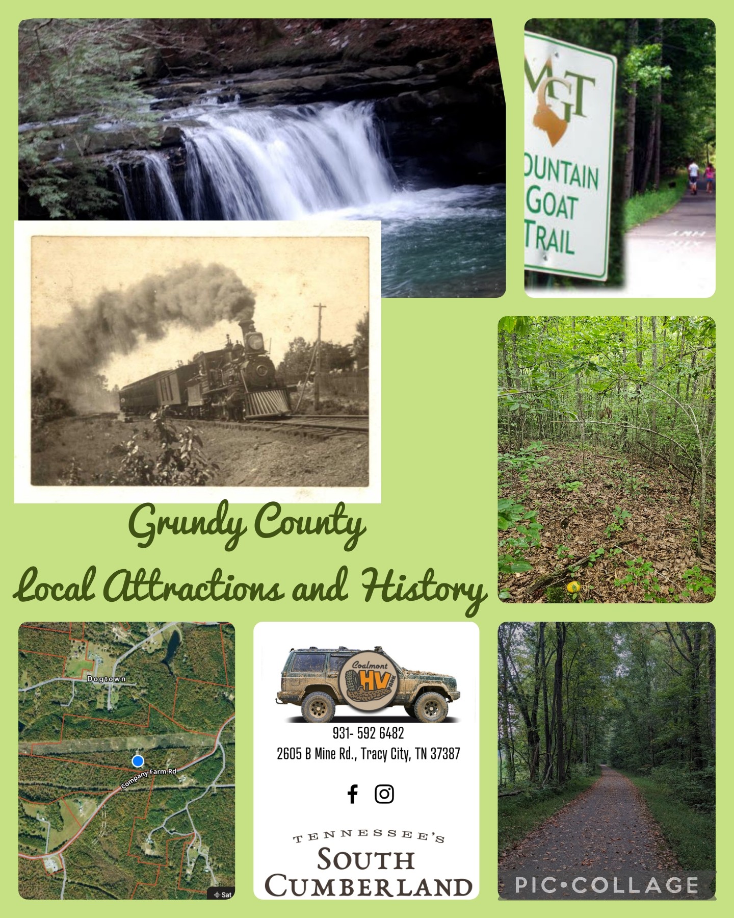
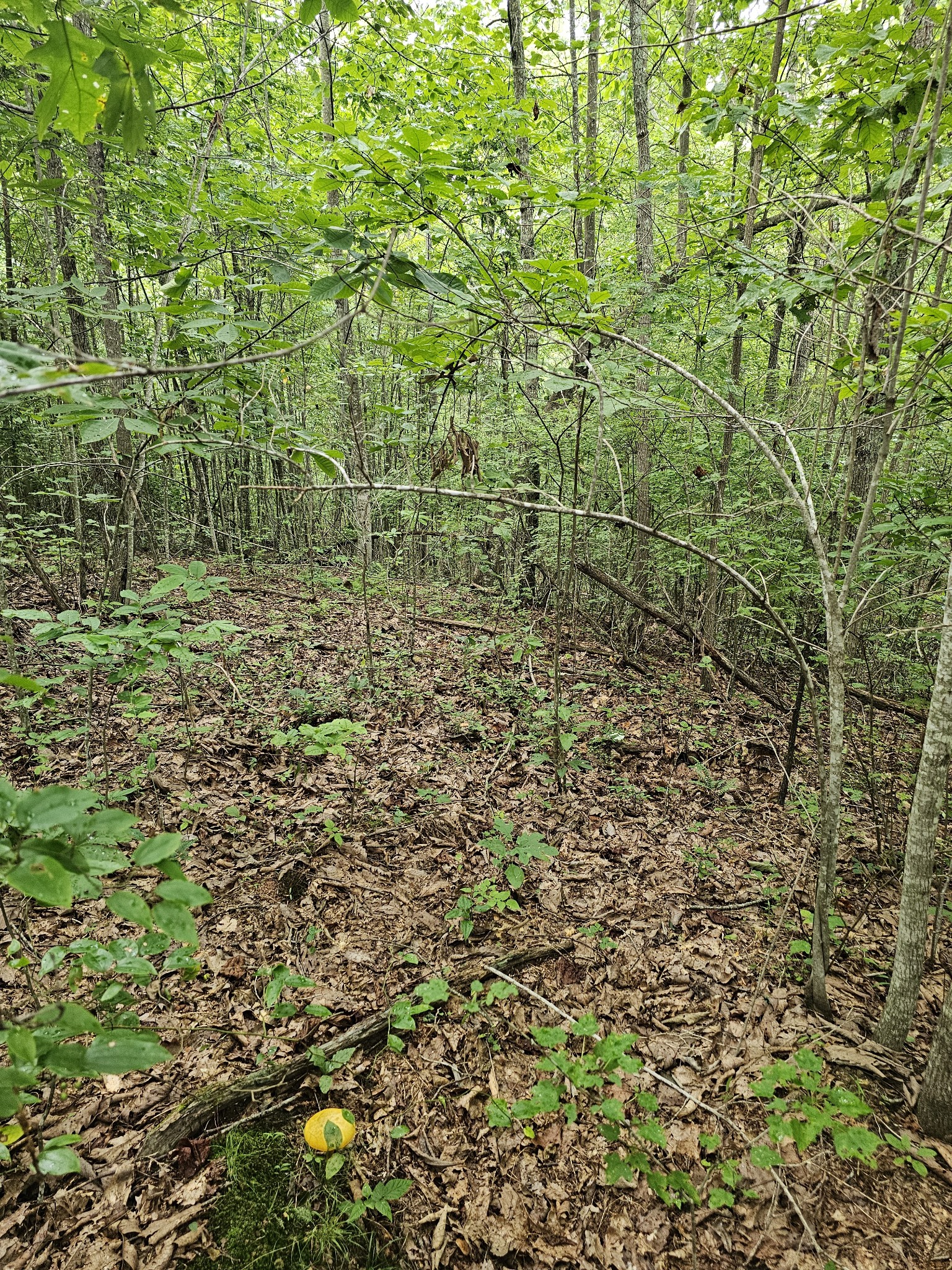
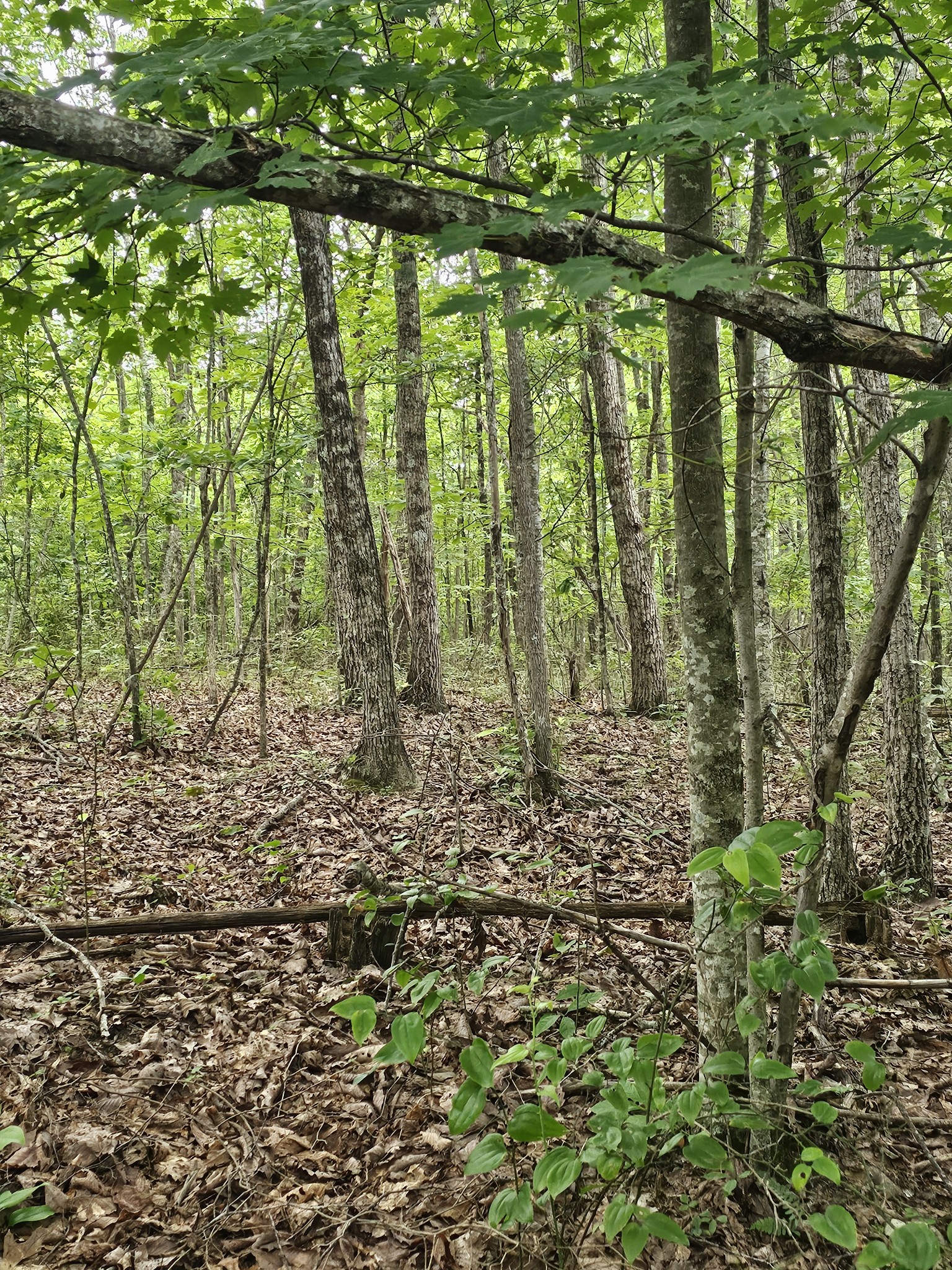
[description] => 30+ Acre Recreational Retreat with Bluff View & Private Trailhead
30+ acres nestled on one of the highest points of the Cumberland Plateau. This unique property offers breathtaking bluff views (with a little clearing of brush and a few trees), direct access to a section of the Mountain Goat Trail, and even your own private trailhead.
The land has already been surveyed and includes a designated soil-tested area, making it ready for your dream cabin, camper, or recreational build. Whether you're seeking a weekend escape, hunting retreat, or basecamp for outdoor adventures, this property is full of potential.
Surrounded by abundant wildlife, towering waldorf trees, and the peaceful sounds of nature, it's the perfect place to unplug. On a clear evening, enjoy panoramic views stretching all the way to Tellico Mountain in East Tennessee.
Located just minutes from the OHV Park at Savage Gulf, you'll have easy access to thousands of acres of pristine Tennessee wilderness to hike, bike, or ride.
Priced to sell—don’t miss your chance to own a rare recreational gem on the plateau!
This is only a portion of a larger tract. Tax Map is not accurate to the division. Property has a brand new survey and Soil Work.
Please Verify Road Frontage and other important information.
[location] => stdClass Object
(
[city] => Coalmont
[state] => Tennessee
[postal_code] => 37313
[county] => Grundy County, TN
[subdivision] => Na
[street] => stdClass Object
(
[number] => 0
[name] => Company Farm Rd
[full] => 0 Company Farm Rd
)
[directions] => From Hwy 56 turn rt on Hidenburg then veer right onto Company Farm Rd. This is only a portion of a larger property.
[coordinates] => stdClass Object
(
[latitude] => 35.338995
[longitude] => -85.693183
[geo_json] => stdClass Object
(
[type] => Point
[coordinates] => Array
(
[0] => -85.693183
[1] => 35.338995
)
)
)
)
[building] => stdClass Object
(
[fireplaces] => stdClass Object
(
[exists] =>
)
)
[surroundings] => stdClass Object
(
[sewer] => Array
(
[0] => None
)
[land] => stdClass Object
(
[size] => stdClass Object
(
[dimensions] => 30
[acres] => 30
)
[description] => Array
(
[0] => Rolling Slope
[1] => Views
[2] => Wooded
)
)
[school] => stdClass Object
(
[elementary] => Coalmont Elementary
[junior] => Coalmont Elementary
[high] => Grundy Co High School
)
)
[last_updated] => stdClass Object
(
[$date] => 2025-08-11T18:13:00Z
)
[office] => stdClass Object
(
[name] => Compass
[broker_id] => 52338
)
[agents] => Array
(
[0] => stdClass Object
(
[name] => stdClass Object
(
[first] => Christy
[middle] => Rogers
[last] => Brown
)
[phone] => stdClass Object
(
[preferred] => 9313150792
[mobile] => 9313150792
[fax] => 9313150792
)
[agent_id] => 48834
)
)
[media] => stdClass Object
(
[photos] => Array
(
[0] => stdClass Object
(
[position] => 0
[urls] => stdClass Object
(
[original] => https://new.photos.idx.io/rt2/2963611/0.jpg
[215x] => https://new.photos.idx.io/rt2/2963611/0/215x.jpg
[440x] => https://new.photos.idx.io/rt2/2963611/0/440x.jpg
)
)
[1] => stdClass Object
(
[position] => 1
[urls] => stdClass Object
(
[original] => https://new.photos.idx.io/rt2/2963611/1.jpg
[215x] => https://new.photos.idx.io/rt2/2963611/1/215x.jpg
[440x] => https://new.photos.idx.io/rt2/2963611/1/440x.jpg
)
)
[2] => stdClass Object
(
[position] => 2
[urls] => stdClass Object
(
[original] => https://new.photos.idx.io/rt2/2963611/2.jpg
[215x] => https://new.photos.idx.io/rt2/2963611/2/215x.jpg
[440x] => https://new.photos.idx.io/rt2/2963611/2/440x.jpg
)
)
[3] => stdClass Object
(
[position] => 3
[urls] => stdClass Object
(
[original] => https://new.photos.idx.io/rt2/2963611/3.jpg
[215x] => https://new.photos.idx.io/rt2/2963611/3/215x.jpg
[440x] => https://new.photos.idx.io/rt2/2963611/3/440x.jpg
)
)
[4] => stdClass Object
(
[position] => 4
[urls] => stdClass Object
(
[original] => https://new.photos.idx.io/rt2/2963611/4.jpg
[215x] => https://new.photos.idx.io/rt2/2963611/4/215x.jpg
[440x] => https://new.photos.idx.io/rt2/2963611/4/440x.jpg
)
)
[5] => stdClass Object
(
[position] => 5
[urls] => stdClass Object
(
[original] => https://new.photos.idx.io/rt2/2963611/5.jpg
[215x] => https://new.photos.idx.io/rt2/2963611/5/215x.jpg
[440x] => https://new.photos.idx.io/rt2/2963611/5/440x.jpg
)
)
)
)
[key] => rt-2963611
[added_at] => stdClass Object
(
[$date] => 2025-07-31T13:38:00Z
)
[source] => rt
[self_link] => https://api.idx.io/listings/rt-2963611
)
Exterior Details
- SewerNone
- Lot DescriptionRolling Slope, Views, Wooded
- Lot Dimensions30
- Acres30